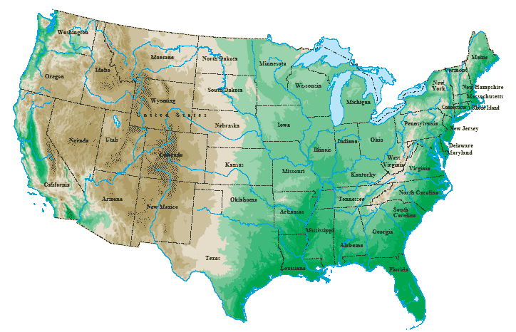
United States Map > 48 States Topo Map

Topographic Map of the Lower 48 States
This topographical map of the United States includes the contiguous
48 states, but excludes the states of Alaska and Hawaii.
This topo United States map will normally fit on letter size paper
(8 1/2 inch by 11 inch), in portrait mode, with left and right margins
each set to about 0.4 inches.
The primary topographical features of continental United States include the Rocky Mountains in the west, the Great Plains and the Missouri River and Mississippi River systems in the central interior, the Great Lakes in the northern Midwest, the Appalachian Mountains in the East, and the coastal plain along the eastern Atlantic coast and southern Gulf coast.
Be sure to view the detailed regional road maps and topographical maps, and browse the United States reference information on this web site.
Copyright © 2006-2026 United-States-Map.com. All rights reserved.